-40%
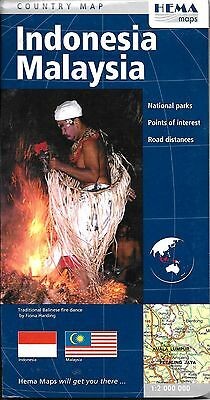
Map of Indonesia and Malaysia, by HEMA Maps
$ 3.14
- Description
- Size Guide
Description
Map of Indonesia and Malaysia, by HEMA MapsEXCELLENT DETAILED LARGE DOUBLE SIDED SHEET MAP !!
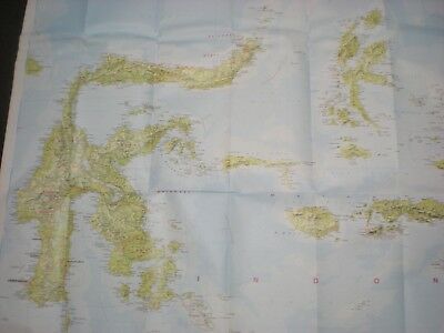
East on on side, West on the other side.
Exceptional German cartography, this is as good as it gets.
Road and travel map of Indonesia and Malaysia with subtle shaded relief and color tints to show the terrain. Locates national parks, interesting places, even more interesting places (for real), objects of special interest, ancient monuments, wells, and other sites. Distinguishes five kinds of roads from expressways to tracks. Shows road numbers and distances in kilometers. Locates mountain passes and shows the routes of railways, ferries (including car ferries) and shipping routes. Locates airports, time zone boundaries, administrative boundaries, and restricted areas. Legend also in Czech, Polish. Printed folded paper map with protective hard cover.
The Indonesia and Malaysia travel map features:
Detailed road distances
Places of interest
National parks
The map is printed on paper and has a protective coated cardboard cover.
When unfolded, map measures approx. 44" x 36", scale is 1:2,000,000
Map retails for $ 12.95, publication date: 2008, ISBN 978-1865003306
Map is new, but cardboard cover shows minor shop wear
