-40%
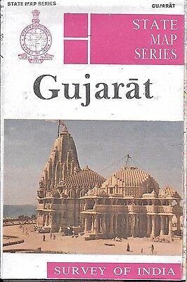
Vintage Map of Gujarat, India, by Survey of India
$ 6.83
- Description
- Size Guide
Description
Vintage Map of Gujarat, India, by Survey of IndiaProduced by the Survey of India, the country's official 'map maker' of the time. This 1990 folded paper map has great detail for the city of Gujarat. At the time, official Survey of India Maps were widely sold in India, but strictly forbidden to be taken 'out of county.'
These are great examples of manual cartography, and a piece of cartographic history.
Map is excellent condition, as it has not be used. Map measures 20 x 27 inches, and is printed on heavy paper, in full color and with index.
